Kenya is heading into a potentially intense weather period, especially since meteorologists says it’s no longer a matter of if, because El Niño is already here and established.
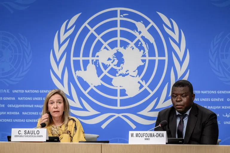
The latest warning from the World Meteorological Organization (WMO) says the El Niño event developing in the tropical Pacific has strengthened significantly and is expected to become a very strong event in the coming months.
More strikingly, WMO forecasts give an almost 100 per cent probability that El Niño will persist through February 2027, with the event expected to reach its peak towards the end of 2026.
The warning from the United Nations is equally stark.
“El Niño is being supersized before our eyes,” said UN Secretary-General António Guterres. “The science leaves no room for doubt: the planet is in uncharted waters, and those waters are heating up. Sea surface temperatures are rising, temperatures keep climbing, and the world is in the danger zone of extreme weather.
“The race now is between rising risks and our commitment to take climate action and protect people. We must win that race.”
For Kenya, however, the important question is what that El Niño means for Kenya’s weather, when the rains will arrive, how much rain different parts of the country could receive and what communities should prepare for.
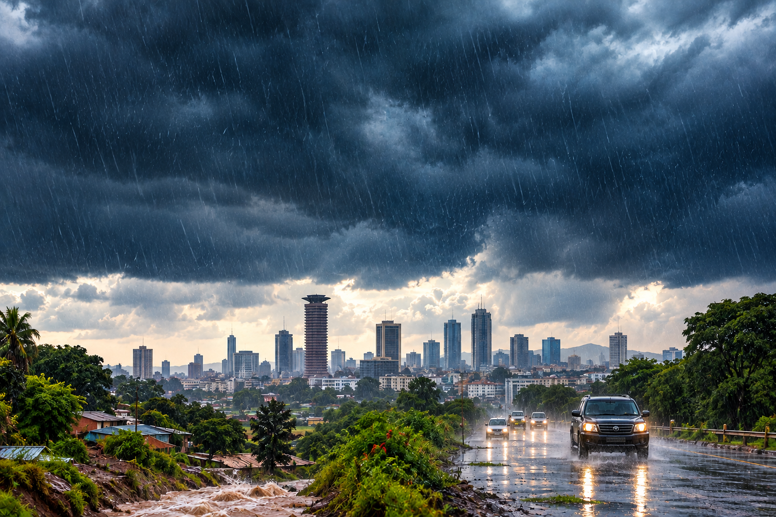
Kenya’s latest October December rainfall outlook points to above average rainfall across much of the country, with some areas expected to experience prolonged wet spells and isolated storms.
That makes the coming months particularly important for households, farmers, motorists, businesses and county governments.
El Niño is already here and scientists expect it to strengthen
El Niño is one phase of the naturally occurring El Niño Southern Oscillation (ENSO), a climate pattern involving changes in ocean temperatures and atmospheric conditions over the central and eastern tropical Pacific.
During El Niño, unusually warm sea surface temperatures develop in this region and influence atmospheric circulation, shifting rainfall and temperature patterns in different parts of the world.
The phenomenon does not affect every country in the same way. In fact, the strength of an El Niño event alone cannot tell us exactly how severe its effects will be in Kenya.
Other climate systems, including conditions in the Indian Ocean, can modify its effects. But the current event is attracting unusual attention because of just how quickly it is strengthening.
According to WMO’s latest update, sea surface temperatures in the central eastern equatorial Pacific were already substantially above average by mid 2026. Weekly Niño 3.4 values reached approximately 2.2°C to 2.6°C above average between late July and mid-August, signalling continued intensification.
WMO now expects El Niño to strengthen into a very strong event before reaching its peak towards the end of 2026, and warn that its effects could continue well into 2027.
So when will Kenya feel the effects?
Kenya’s October–November–December, or OND, is the country’s main “short rains” season and is particularly important for parts of eastern and northern Kenya.
The latest outlook from the Kenya Meteorological Service Authority indicates that above average rainfall is expected over much of Kenya during the October–December 2026 season. The forecast also warns of prolonged wet spells and occasional isolated storms in several parts of the country.
According to the latest forecast:
- Parts of western Kenya are already experiencing rainfall that is expected to continue into the coming months.
- Nairobi and much of Central Kenya are expected to see the onset of the enhanced rains around the second to third week of October, with rainfall potentially continuing into January.
- Parts of eastern Kenya, including Machakos, Kitui and Makueni, are expected to see onset around the third to fourth week of October, also with rains extending into January.
- Coastal counties including Mombasa, Kwale, Lamu and Kilifi are expected to see onset around the second to third week of October, with cessation generally expected between the first and second weeks of December.
Some western counties, meanwhile, are expected to receive continued rainfall from September through January.
This means Kenya will not suddenly enter an El Niño rainy season on one particular day as the onset and duration will vary considerably from one region to another.
As for the end date, it is important not to confuse the global El Niño timeline with Kenya’s rainfall calendar.
The WMO says there is an almost 100 per cent probability that El Niño will persist through February 2027, but that does not mean Kenya will experience heavy rain continuously until February.
Kenya’s rainfall is influenced by several climate drivers, and the timing of the rains varies by region. The current Kenyan forecast generally places the enhanced OND rainfall season between September/October and January, depending on the location.
How much rain is Kenya expecting?
The Kenya Meteorological Service Authority says above average rainfall is expected across roughly 80 per cent of the country.
The wetter conditions are expected to be fairly to well distributed in many areas, although Turkana and Samburu are expected to have poorer rainfall distribution compared with much of the rest of the country.
For some parts of Kenya, this rainfall is extremely significant. The OND season contributes more than 40 per cent of annual rainfall in several eastern and northeastern counties, including Garissa, Wajir, Mandera, Marsabit, Isiolo, Meru, Tharaka Nithi, Makueni, Kitui, Taita Taveta and Machakos, as well as parts of Kajiado and Tana River.
So while heavy rain can create serious risks, the rainfall itself is not automatically bad news – especially for farmers and communities in traditionally dry areas where adequate seasonal rainfall can improve water availability, pasture and agricultural conditions.
Why scientists are watching this El Niño so closely
The current event is unusual because of the combination of exceptionally warm Pacific Ocean conditions and the speed at which the event is intensifying.
WMO says the central eastern equatorial Pacific has experienced exceptionally high sea surface and subsurface temperatures, with some areas subsurface ocean temperatures being more than 8°C above average during July and early August.
The organisation expects El Niño to reach very strong intensity and peak towards the end of 2026.
A very strong El Niño does not automatically mean a very strong disaster in Kenya
WMO specifically cautions that the strength of El Niño does not directly determine the magnitude of its effects in every individual country or region.
Local impacts are influenced by other climate drivers and by the season. For East Africa, one of those important factors is the Indian Ocean Dipole (IOD).
WMO expects a positive IOD phase to develop during the September–November period, and says these different climate drivers can reinforce, weaken or alter typical El Niño impacts depending on the region.
That is why Kenya’s own meteorological forecasts are more useful for understanding what people here should actually expect than simply looking at the global strength of El Niño.
What areas of Kenya are most likely to be affected?
Above average rainfall is expected across many counties, including Nairobi, Kiambu, Murang’a, Nyeri, Nyandarua, Kirinyaga, Meru, Embu, Tharaka-Nithi, Nakuru, Baringo, Kericho, Kisii, Kisumu, Kakamega, Bungoma, Busia, Siaya, Homa Bay, Migori, Narok, Machakos, Kitui, Makueni, Kajiado, Taita Taveta, Mombasa, Kwale, Kilifi, Lamu, Garissa, Wajir, Mandera and Isiolo, among others.
But “above average rainfall” should not be interpreted as “everywhere will flood.”
Flooding depends on several factors, including rainfall intensity, drainage, soil conditions, terrain, river levels, land use and the condition of local infrastructure.
This is particularly important in urban areas such as Nairobi, where intense rainfall can overwhelm drainage systems even when the seasonal rainfall total does not appear extraordinary.
Is this going to be another 1997–98 El Niño?
There is a reason the 1997–98 El Niño remains deeply embedded in Kenya’s collective memory. That year, the unusually heavy rains caused a lot of devastating floods and widespread damage.
But meteorologists are cautioning against assuming that every strong El Niño will produce the exact same outcome, with the Kenya Meteorological Service officials stressing that the strength of El Niño itself does not determine Kenya’s rainfall intensity. Other climate drivers, including the Indian Ocean Dipole, also matter.
So comparisons with 1997–98 can provide useful historical context, but they should not be treated as a prediction that Kenya is about to experience an identical disaster.
The most important message from the forecasts is preparation rather than panic.
The weather agencies are providing a valuable window in which households, farmers, motorists, businesses and county governments can prepare before the most significant rainfall arrives.
The question at this point is, how are we prepared for what happens when that rain arrives?
What happens next?
The current forecast gives Kenya several weeks to prepare before the enhanced rains are expected to become widespread in many parts of the country.
The WMO expects the global El Niño event to strengthen further and peak towards the end of 2026, while Kenya’s meteorological outlook points to an enhanced October–December rainy season, with some areas experiencing rainfall into January.
That means the coming months will require close monitoring.
Forecasts will be updated as the season approaches, and the actual rainfall can differ from seasonal projections.
While there is no reason to panic, there is also no reason to wait.
The preparation window is now.